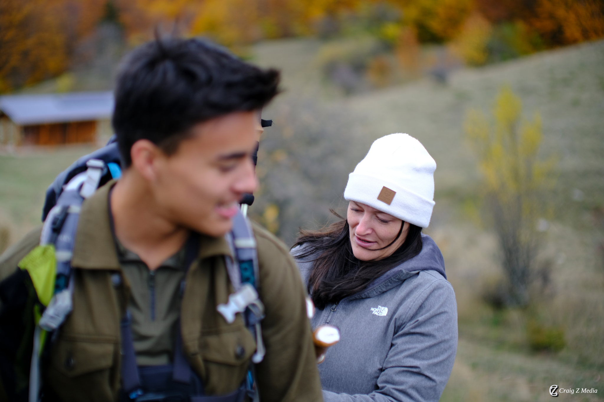
Forty routes through forests, ridges and ancient landscapes — from gentle lakeside walks to challenging high-altitude summits.
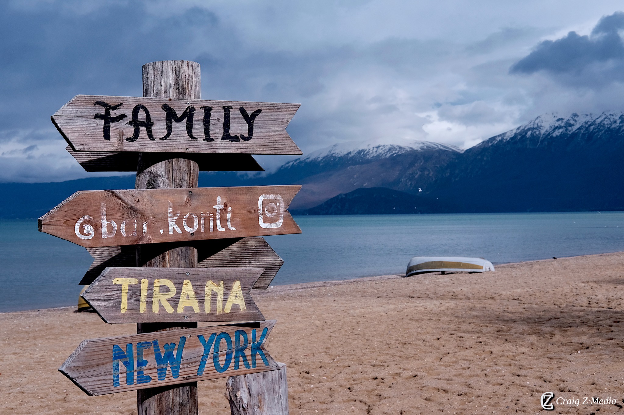
Pogradec sits at the foot of two magnificent mountain ranges — the Jablanica and Mali i Thatë — and between them offer some of the most diverse hiking terrain in the western Balkans. Whether you want a gentle stroll beside the lake or a full-day ascent above the treeline, this region delivers.
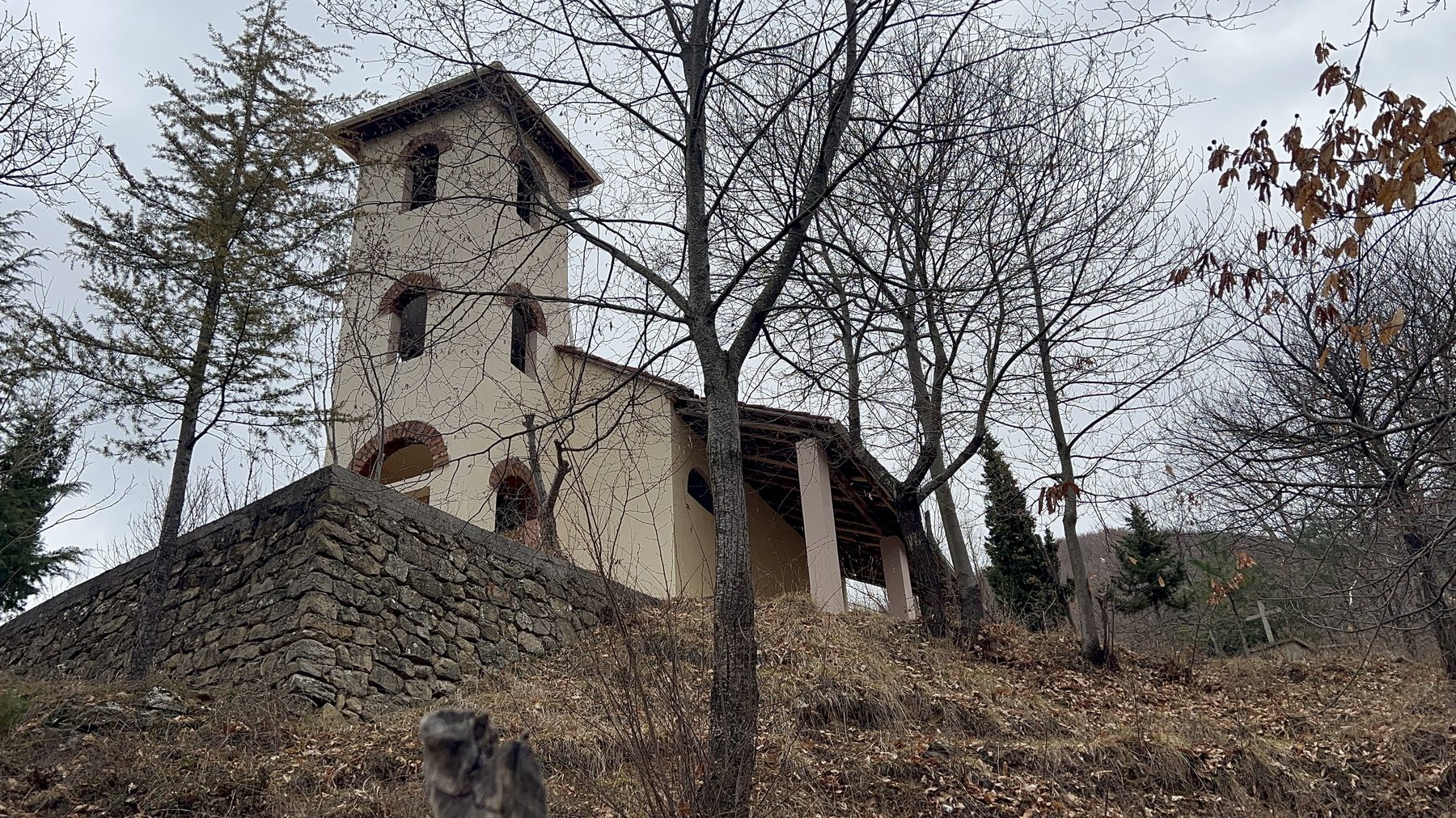
The paths here are ancient. Shepherds, traders and pilgrims have walked these routes for centuries, and you'll find that sense of deep time on almost every trail — in a ruined caravanserai half-reclaimed by oak forest, in the Byzantine chapel clinging to a limestone face, in the stone walls of a long-abandoned summer pasture.
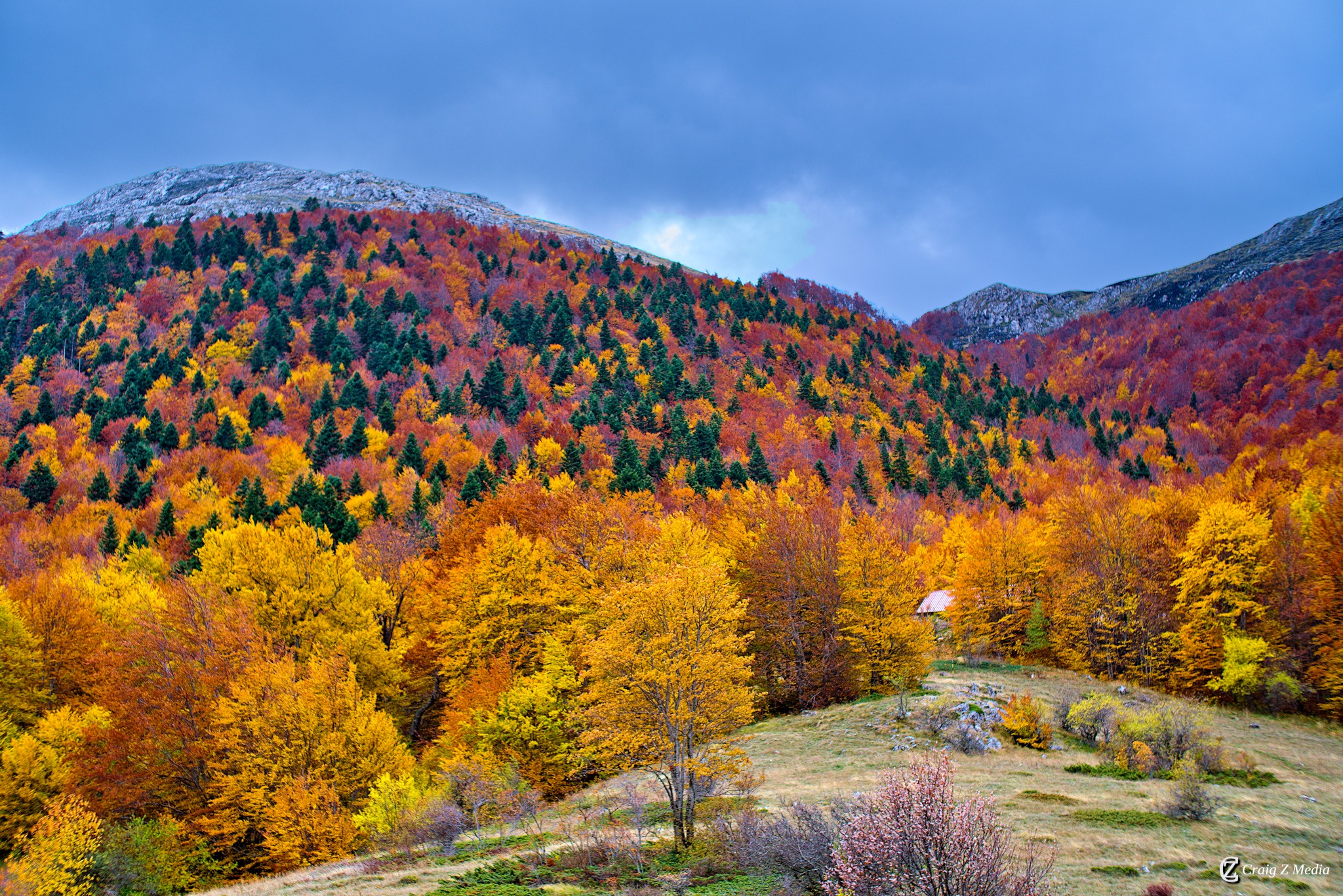
Most trails are well-signed and accessible without specialist equipment, though the higher routes on Jablanica demand proper preparation. Spring wildflowers, autumn colours and the near-constant sparkle of the lake below make this one of the most rewarding hiking destinations in Albania.
Safety & Liability Notice
Mountain hiking carries inherent risks including rapidly changing weather, difficult terrain, and remoteness from emergency services. Trail conditions, route accessibility, and difficulty ratings listed on this site are provided for general guidance only and may not reflect current on-the-ground conditions. Always check current conditions locally before setting out, carry appropriate equipment, and inform someone of your route and expected return time. The owner of this website accepts no responsibility or liability for any accident, injury, loss, or death arising from use of any information on this site. Hikers proceed entirely at their own risk. If you are in difficulty in the mountains, the Albanian emergency number is 112.
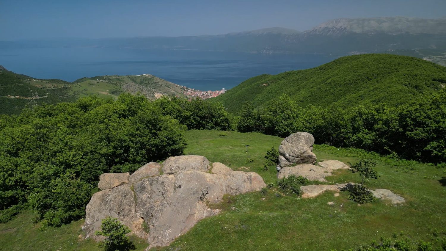
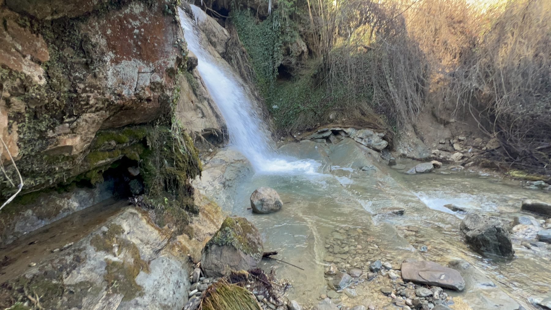
Our favourite hike in Pogradec — a U-shaped loop through open ridges and shaded woodland in the hills behind town. In a single day it takes in panoramic Lake Ohrid views, a string of waterfalls, the old hilltop church of Kisha Shën e Diela and curious rock formations. If you do one hike here, make it this one.
A selection of the best routes around Pogradec, from easy lakeside paths to the summits of Mali i Thatë and the shores of Lake Prespa.
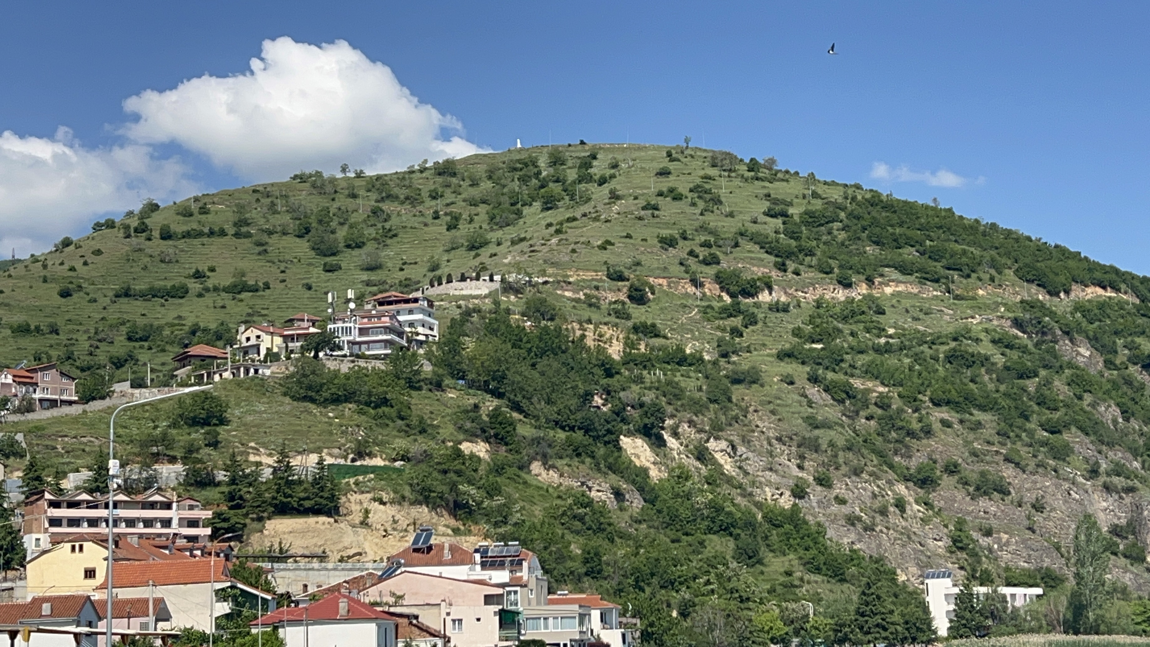
A steady climb from town, half on paved streets and half on the dirt Castle Street, up to the ruins of the Illyrian-era hilltop fortress. Challenging on a hot day but decently safe, with some of the finest panoramic views in the area over Pogradec, Lake Ohrid and across to North Macedonia.
Read the complete guide
Probably our favourite hike in Pogradec — a U-shaped loop through open ridges and shaded woodland in the hills behind town. It takes in panoramic Lake Ohrid views, a string of waterfalls, the old hilltop church of Kisha Shën e Diela and unusual rock formations.
Read the complete guide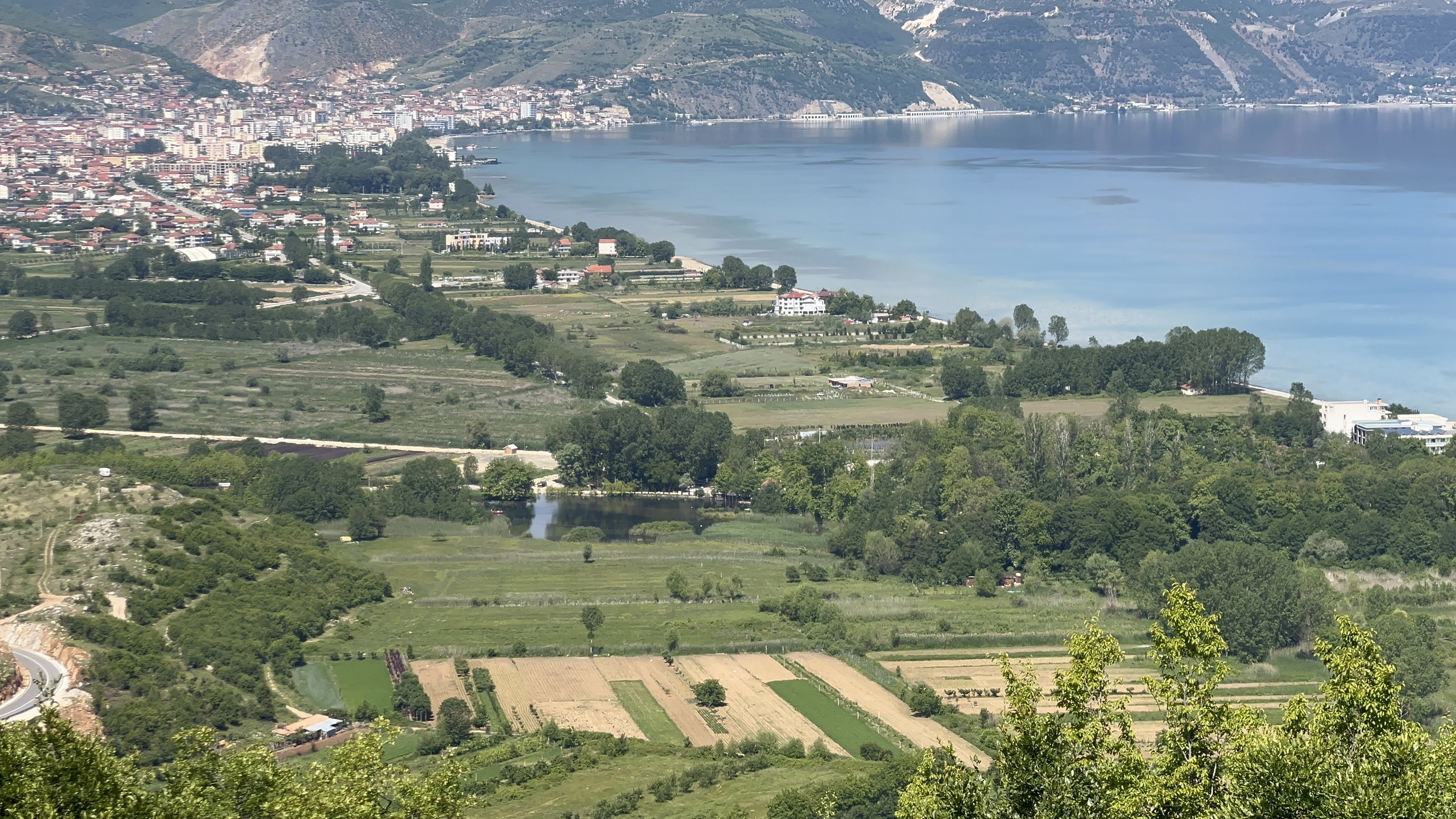
Climbs steadily through old oak forest above the village of Tushemisht, emerging onto a panoramic ridge on Mali i Thatë with sweeping views of Lake Ohrid and across to North Macedonia. A rewarding full-day route — the finest panorama in the region.
Read the trail reportA full route guide for the Guri i Kamjes hike is on the way — check back soon for the complete description, route stats and photographs. In the meantime, you can spot its distinctive plateau-shaped rock in the distance from the Kabash Trail.
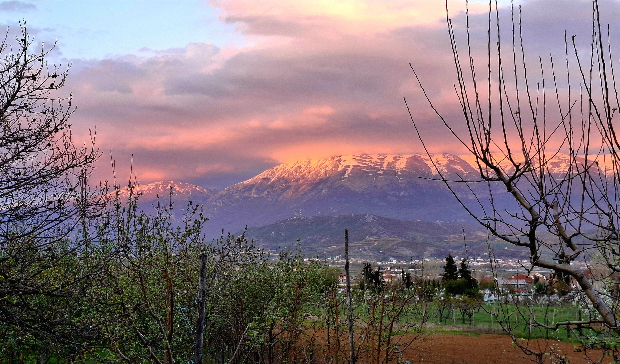
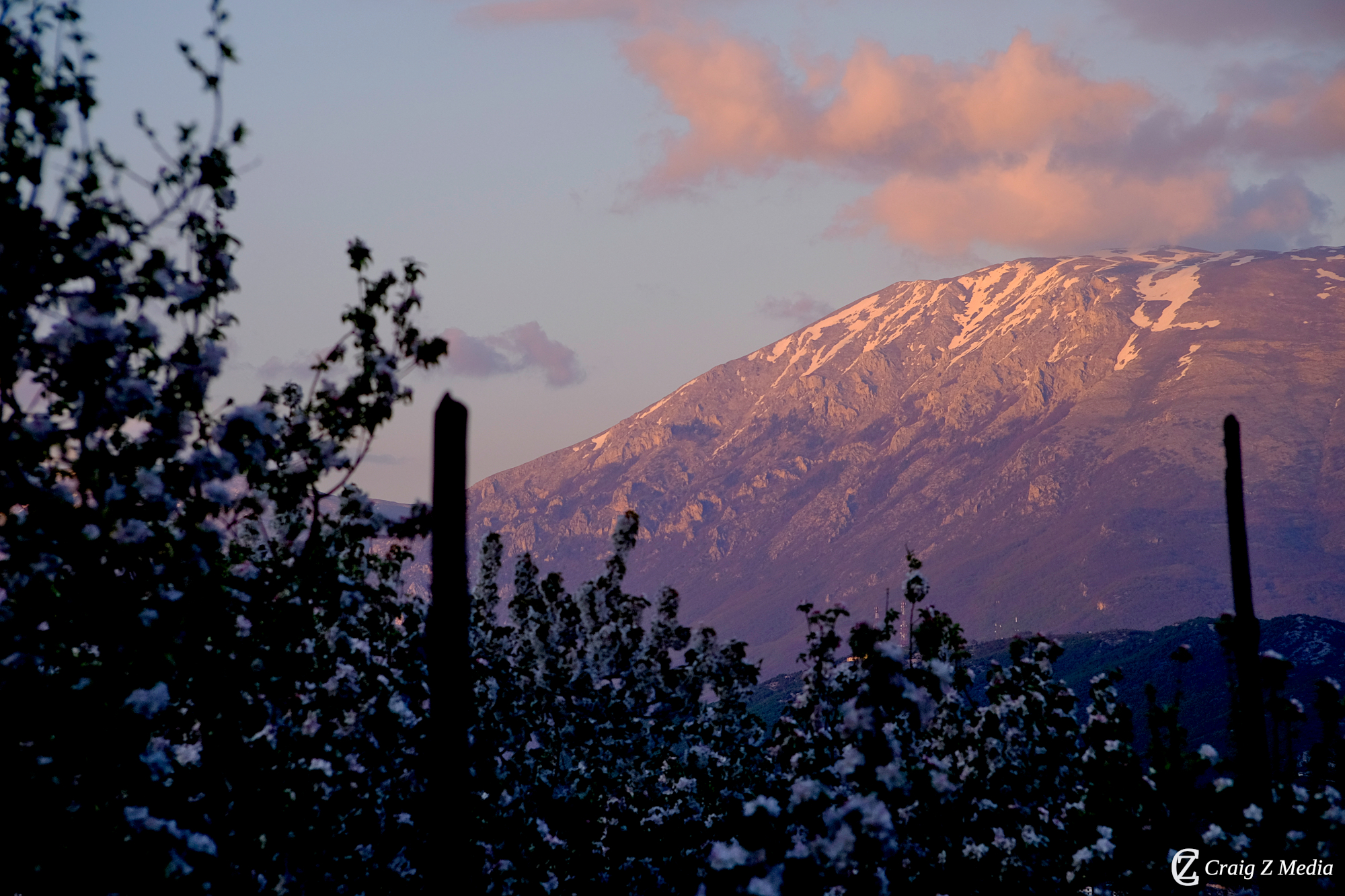
The defining challenge of the Pogradec highlands — a full-day ascent of Mali i Thatë (the Dry Mountain, 2,287 m), the limestone massif that rises dramatically east of Lake Ohrid. The trail begins above the village of Dardhas and climbs through sparse pine and juniper into an open, rocky landscape of extraordinary severity and beauty. From the summit, Lake Ohrid glitters far below while the Macedonian highlands stretch endlessly to the east. Experienced mountain hikers only; carry plenty of water as the ridge is completely exposed.
A flat lakeside walk winding through willow groves and quiet fishing villages on the southern shore of Lake Ohrid. Perfect for families and those new to the area, with beautiful light on the water at any time of day.
A full-day alpine ascent to the 2,486 m summit of Jablanica — the highest point accessible from Pogradec. Experienced hikers only. The views from the top stretch to the Adriatic on clear days. Start before dawn.
A coastal path around the ancient Lin Peninsula, past the remains of a fifth-century Byzantine basilica and early Christian mosaics. The peninsula juts into the lake and offers 360-degree water views — an easy but historically rich walk.
Follows a series of clear streams through ancient beech forest to the natural springs at Drilon, where crystal-clear water emerges from the karst limestone. A wonderfully shaded trail ideal for hot summer days.
A remote route into the Mokra high plateau — a vast, largely untouched landscape of wildflower meadows, glacial tarns and ancient shepherd paths. Stunning from May through July when the plateau is carpeted in bloom. Navigation skills required.
A gentle walk along the Albanian shore of Lake Prespa, one of the oldest lakes in Europe and a UNESCO transboundary reserve. The path winds through reed beds and quiet fishing villages, with extraordinary birdlife year-round — Dalmatian pelicans, great white egrets and pygmy cormorants are regularly spotted. Combine with a visit to the island church of Saint Mary for a full day out from Pogradec.
A rewarding cross-country route that climbs from the Prespa lakeshore up through oak and juniper scrub onto the lower slopes of Galicica, the ridge that divides Lake Prespa from Lake Ohrid. The high viewpoint — reachable without crossing into North Macedonia — offers one of the most dramatic twin-lake panoramas in the Balkans. Best in spring when the slopes are alive with wildflowers.
Conditions vary considerably through the year. Use this guide to choose the best time for your chosen trail type.
| Month | Conditions | Lowland Trails | Mid-Altitude Routes | Alpine & Summit | Notes |
|---|---|---|---|---|---|
| January – February | Cold, possible snow above 800 m | Lake Shore Path still pleasant on clear days | |||
| March | Warming, occasional rain | Early spring wildflowers begin on lower slopes | |||
| April – May | Ideal — mild, clear, green | Best wildflower season, streams at full flow | |||
| June – July | Hot below 1,000 m, perfect above | Start early to avoid midday heat on low trails | |||
| August | Very hot, dry | Highland routes excellent; lake paths best at dawn | |||
| September – October | Cooling, golden light, low crowds | Arguably the finest hiking season overall | |||
| November – December | Cold, wet, early snow on peaks | Quiet and atmospheric; go prepared |